
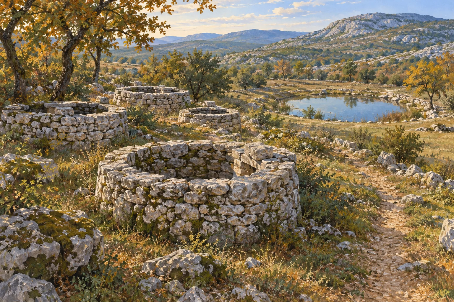
Near Nisko lie ten stone-lined wells and a shared pond for livestock. The municipality of Klis describes an inherited system of water use, craftsmanship and neighbourly cooperation. The site is documented by 1829 at the latest—not its often-assumed ancient origins.
A place understood through its use
Ten wells and a pond: even this brief description distinguishes Rajčica from a single spring beside a path. According to the municipality of Klis’s documents, the ensemble lies in Nišćanski gaj near Nisko. The wells have dry-stone surrounds; stone steps lead down inside. Stone troughs for livestock also form part of the site.
These are not merely decorative elements in a landscape. Surrounds, steps and troughs tell how people made water accessible and used it. Those seeking only an unusual photograph see the shapes. Those asking what they were for recognise a place where household needs, livestock keeping and community rules came together.
Not every well simply belonged to everyone
Klis’s official municipal bulletin also describes the social organisation of these water points: families or neighbourhood groups knew which well was assigned to them. The pond was shared for livestock. Rajčica thus consisted not only of structures but also of agreed arrangements for use.
This distinction brings the site’s story to life. Water in a shared landscape did not automatically mean that anyone could draw it without restriction. The allocation of wells and the communal livestock watering place show different forms of sharing. The short official description does not, however, allow a full reconstruction of how these rules were enforced or which families used which well surround at what time.
That is precisely why the surviving evidence deserves careful attention. The ten separate water points and shared pond are not simply eleven versions of the same thing. They point to different needs and an organisation of everyday life that cannot be understood solely from a structure’s size.
1829 is evidence, not a birthday
The municipality cites an Austrian cadastral map of Nisko from 1829 as the earliest known written and cartographic record. This establishes that the wells had already been recorded then. It does not mean they were first built that year. Nor does the date prove that they originated in Roman times.
This distinction matters when understanding the place. An old well does not need a precise date in antiquity to be significant heritage. Its documented use, inherited allocation and surviving craftsmanship already tell a concrete story. Any earlier dating would need its own archaeological or historical evidence.
References to Roman roads or other water points elsewhere in the municipality cannot automatically be applied to Rajčica either. Proximity on a map is no proof of the same construction period. In this portrait, 1829 therefore remains the documented chronological anchor, while the time of construction remains open.
Dry-stone walls as infrastructure
The municipality describes Rajčica as hydrological heritage and a green feature in the grey karst landscape. This shifts attention away from supposed mystery and towards a practical achievement: stone was used to enclose water points, make them accessible and enable everyday use.
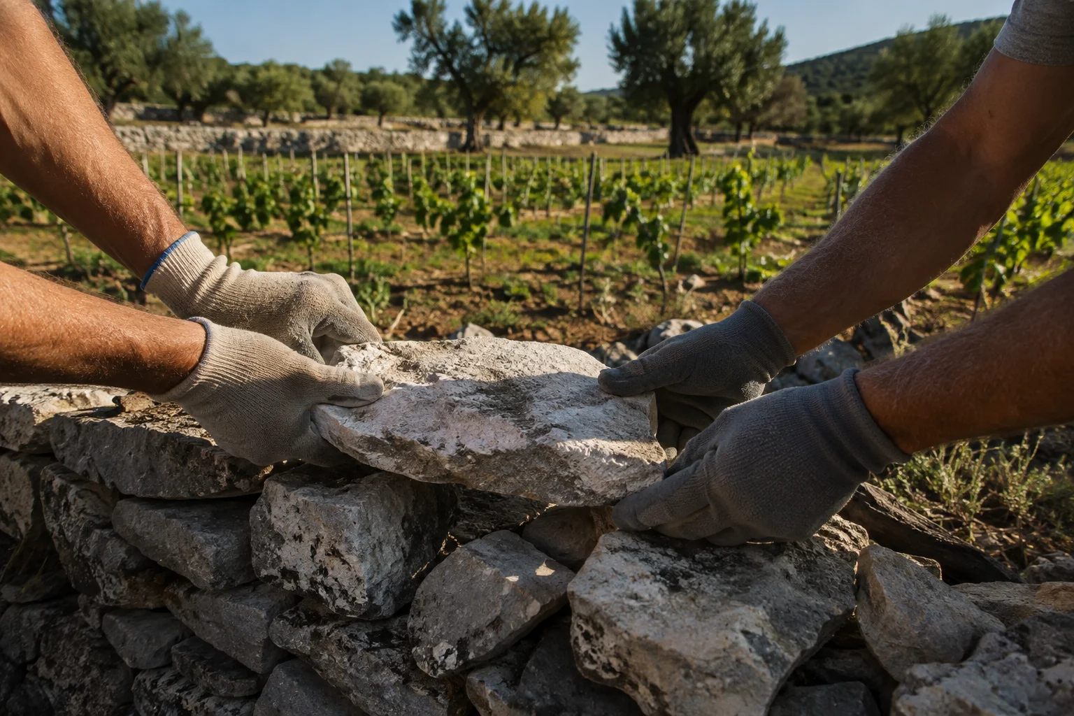
Here, dry-stone wall means a built structure, not an arbitrary pile of loose stones. Removing individual pieces or climbing onto a surround for a photograph undermines its preservation as a whole. Even well-intentioned repairs are not a visitor’s task. The site can be viewed from outside without changing its components.
A comparison with the dry-stone walls of Starogradsko polje on Hvar reveals a common theme in Dalmatian cultural landscapes: stone architecture was a tool of work. The forms and functions differ, but in both cases the landscape becomes more understandable when we recognise not just its beauty but also its former use.
A restrained visit suits the place
The official description examined provides no reliable information for today’s visitors on parking, signposted paths or staffed opening arrangements. Check access locally or with the local tourist information office and respect property boundaries. The historical description is not a current route or safety assessment.
Do not descend into the wells, lean over openings or let children get close: the surviving steps are not an invitation to explore. Historical water use does not establish present-day drinking-water quality either. Bring your own water; water levels and current usability are not guaranteed here.
Rajčica does not need a new event date to deserve a place in a travel magazine. The wells tell a lasting story of how people in the hinterland lived together and organised an essential resource. That is a good reason to pay attention—and just as good a reason to leave the place unchanged.
Evidence
Sources & date
Sources support the facts. Planning notes and recommendations are Golden Beach editorial assessments.
Time-sensitive information may change. Please check the linked primary source before travelling.